
Principal Investigators
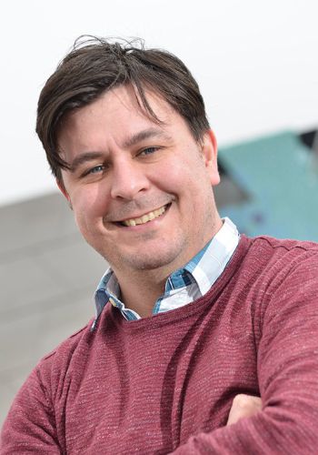
Daniel Parsons
Professor
Loughborough University (Energy & Environment Institute)
Loughborough, UK
Dan studies the linkages between river flow, sediment transport and morphodynamics. Investigating the impact of flow unsteadiness, including flood events, on rivers, and the impact of longer-term changes in sediment dynamics on flood risk is vital for this project.
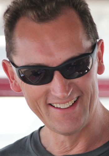
Stephen Darby
Professor
University of Southampton (Geography & Environmental Science)
Southampton, UK
Researching morphodynamics and evolution of large rivers and their deltas under environmental change is Stephen's focus. He explores the interactions between river bank erosion, in-channel and floodplain sedimentation, flood processes, and changing flood extremes.
Co-Investigators
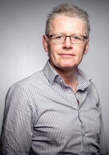
Phil Ashworth
Professor
University of Brighton
Phil investigates river channel pattern and change, and channel-floodplain connectivity. He utilizes airborne and satellite imagery to quantify sediment flux in both dynamic and inaccessible rivers.

Richard Boothroyd
Postdoctoral Researcher
University of Birmingham
The dynamics of fluvial systems – from turbulence initiated by vegetation to hydrometeorological hazards in tropical rivers – is Rich’s research interest. He accomplishes this through a variety of remote sensing techniques that will prove invaluable to the EvoFlood project.
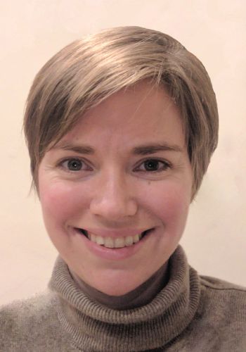
Georgie Bennett
Senior Lecturer
University of Exeter
Through a combination of remote sensing, fieldwork, geospatial analysis and numerical modeling Georgie investigates earth surface dynamics and environmental hazards.
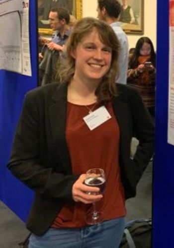
Helen Griffith
Postdoctoral Researcher
University of Reading
Helen studies the role of atmospheric rivers on flooding. This work combines meteorological and hydrological data and seeks to better understand flood generation, forecasting and climate-change impacts on flooding.

Hannah Cloke
Professor
University of Reading
Hannah specialises in flood forecasting, flood risk management and land surface modelling. She was seconded to the UK Government during the 2014 floods crisis as an expert scientist and sat on the Advisory Group for the National Flood Resilience Review in 2016.
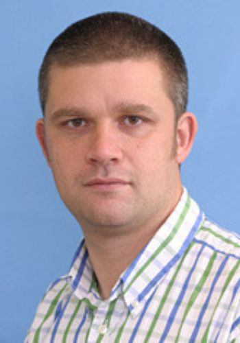
Richard Hardy
Professor
Durham University
Rich specialises in the numerical modelling of open channel flow, and has developed innovative immersed boundary techniques to include morphology and vegetation structures dynamically.
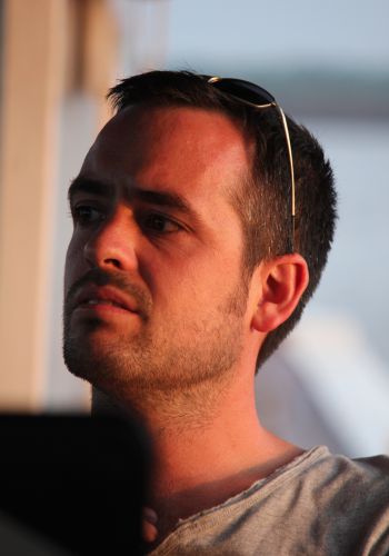
Julian Leyland
Associate Professor
University of Southampton
The collection and processing of high-resolution remotely-sensed data for characterising large river sediment budgets, in-stream morphodynamics and estuarine systems is Julian's expertise. He uses new technologies to assess sediment fluxes.
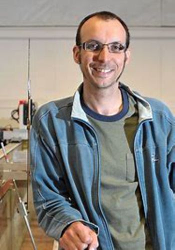
Stuart McLelland
Senior Lecturer
University of Hull
Stuart has undertaken a wide range of research into the process dynamics and relationships between flows and sediment transport in diverse fluvial systems using laboratory flumes. He has directed the Total Environment Simulator since 2002.
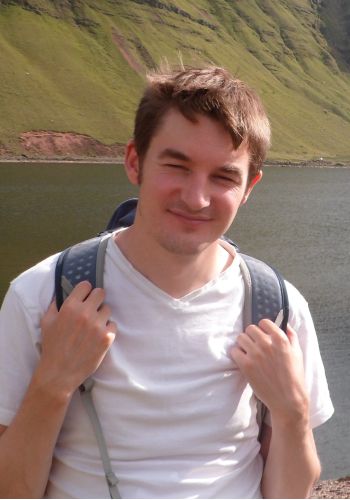
Jeff Neal
Senior Lecturer
University of Bristol
Jeff's research involves the development of large scale (Global Flood Models (GFM)) flood hazard and risk models and simulation of flood hydrodynamics in data sparse areas across the globe.
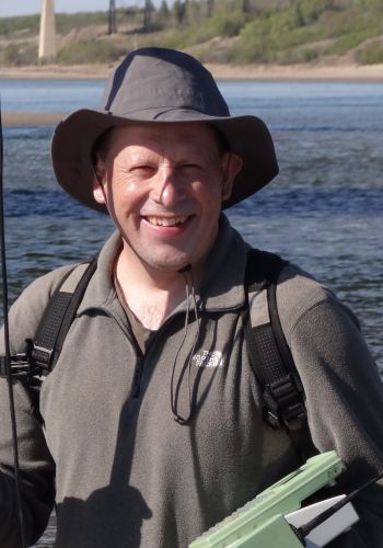
Andrew Nicholas
Professor
University of Exeter
The numerical modelling of fluvial processes over timescales ranging from individual flood events through to millennia is Andrew's focus. His recent work on large rivers and floodplains underpins the morphodynamic modeling component.
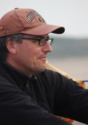
Greg S. Smith
Professor
University of Birmingham
Greg has led projects to quantify fluvial processes in braided and meandering rivers, and has conducted Earth Observation analysis combined with bathymetric surveys on the Ganges River.

Louise Slater
Associate Professor
University of Oxford
Louise investigates changes in river channels and fluvial networks. She developed statistical techniques to elucidate the different drivers of flooding and hydrological changes.
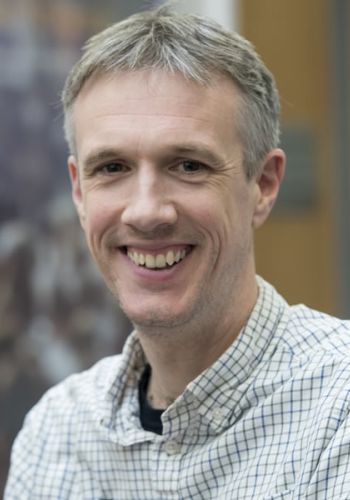
Andy Tatem
Professor
University of Southampton
Andy's work examines how populations, and their dynamics, can be mapped at high resolution. This is accomplished through satellite and high-fidelity human mobility metrics.

No team members found
Please adjust your search filter keywords.