
Overview
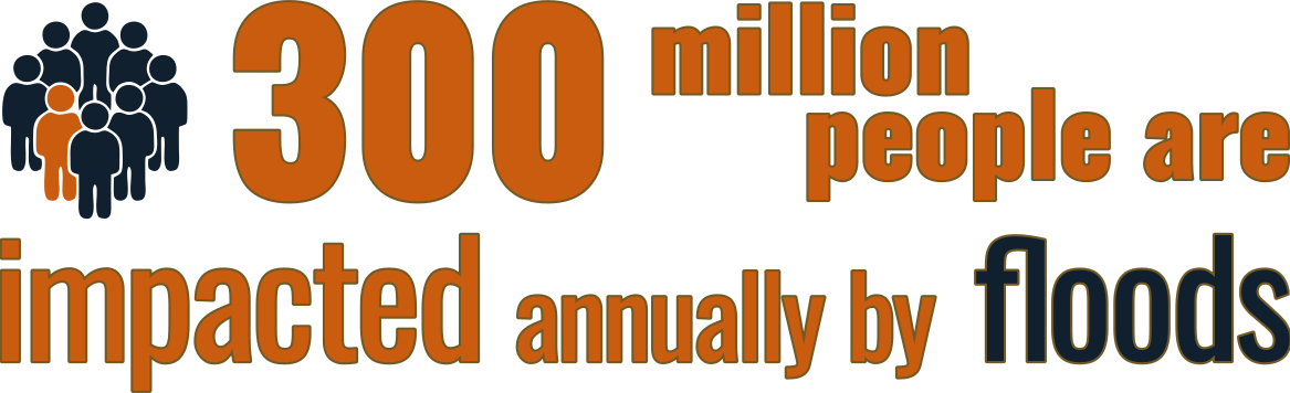
Flooding is the deadliest and most costly natural hazard, affecting societies across the globe. Nearly one billion people are exposed to the risk of flooding in their lifetimes and around 300 million are impacted by floods in any given year.
300 Million
People impacted annually by extreme flooding occurrences globally.
US$ 60 Billion
In estimated direct damage and structural losses year over year.


There is now clear consensus that climate change will, in many parts of the globe, cause substantial increases in the frequency of occurrence of extreme rainfall events, which in turn will generate increases in peak flood flows and therefore flood vast areas of land. Meanwhile, societal exposure to this hazard is compounded still further as a result of population growth and encroachment of people and key infrastructure onto floodplains.
Future Trajectory
These problems will intensify in the future without adaptive morphological global flood modeling models.

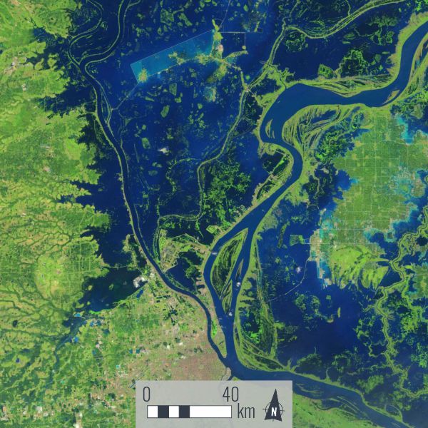
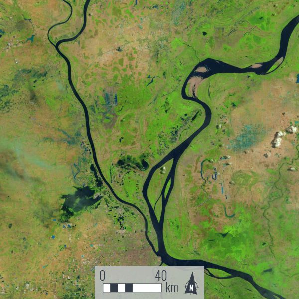
Global Flood Models (GFMs)
Faced with this pressing challenge, reliable tools are required to predict how flood hazard and exposure will change in the future. Existing state-of-the-art Global Flood Models are used to simulate the probability of flooding, but unfortunately they are highly constrained by two fundamental limitations.
Topology & Connectivity constraints
Current GFMs represent the topography and roughness of river channels and floodplains in highly simplified ways, and their relatively low resolution inadequately represents the natural connectivity between channels and floodplains. This restricts severely their ability to predict flood inundation extent and frequency, how it varies in space, and how it depends on flood magnitude.
Static Pipe Modelling Assumption
Existing GFMs treat rivers and their floodplains essentially as 'static pipes.' In reality, river channels evolve through erosion and sedimentation, driven by the impacts of environmental changes (e.g., climate and land use change). This produces changes in channel flow conveyance capacity and floodplain connectivity. Until GFMs are able to account for these changes they will remain fundamentally unsuitable for predicting the evolution of future flood hazard, understanding its underlying causes, or quantifying associated uncertainties.
Next Generation of GFMs
To address these issues we will develop an entirely new generation of Global Flood Models by integrating three complementary scientific research tracks:
Morphology
Using Big Data sets and novel methods to enhance substantially their representation of channel and floodplain morphology and roughness, thereby making GFMs more morphologically aware.
Connectivity
Including new approaches to representing the evolution of channel morphology and channel-floodplain connectivity under changing velocity matrices.
Synthesis
Combining the developments in morphology and connectivity with tools for projecting changes in catchment flow and sediment supply regimes over the 21st century.
Integration
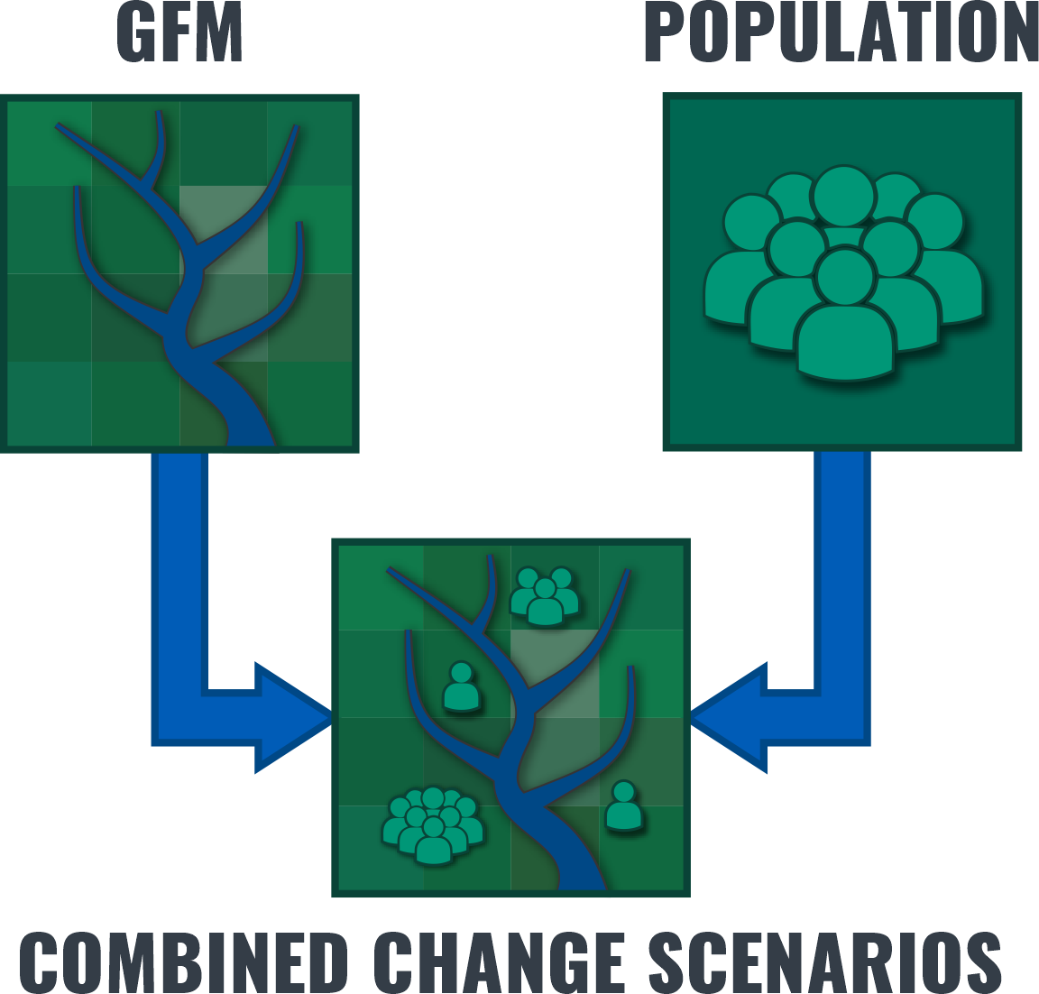
These advances will enable us to deliver new understanding on how the feedbacks between climate, hydrology, and channel morphodynamics drive changes in flood conveyance and future flooding. Moreover, we will also connect our next generation GFM with innovative population models that are based on the integration of satellite, survey, cell phone and census data.
We will apply the coupled model system under a range of future climate, environmental and societal change scenarios, enabling us to fully interrogate and assess the extent to which people are exposed, and dynamically respond, to evolving flood hazard and risk.
Dissemination
Overall, the project will deliver a fundamental change in the quantification, mapping and prediction of the interactions between channel-floodplain morphology and connectivity, and flood hazard across the world's river basins. We will share models and data on open source platforms. Project outcomes will be embedded with scientists, global numerical modelling groups, policy-makers, humanitarian agencies, river basin stakeholders, communities prone to regular or extreme flooding, the general public and school children.